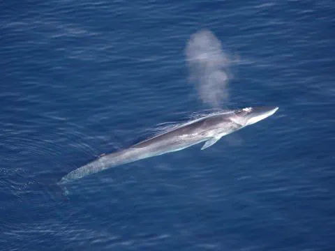
Year-round habitat suitability of fin whales (Balaenoptera physalus) in the Southern Ocean
 © Wikipedia
The dataset presents maps for the year-round habitat suitability of the fin whales (Balaenoptera physalus) in the Southern Ocean. These maps represent predictions from dynamic species distribution models using MaxEnt software. In these models, species visual observations were spatiotemporally matched with contemporaneous environmental conditions, predicting habitat suitability both in time and space. Models were evaluated on spatial- and temporal-block cross-validation, attempting to correct for spatial sampling bias. More details on the models and methods implemented are given in El-Gabbas et al.<8i> 2021 (doi: 10.3389/fmars.2021.802276). The dataset provides maps for the mean daily, weekly, and monthly habitat suitability between June 2002 and December 2019. Further, we also provide maps that summarize long-term daily habitat suitability into monthly maps.